
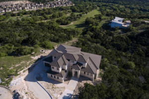
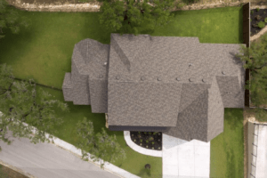
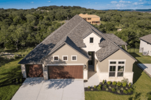
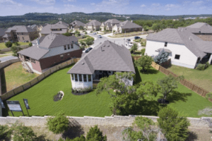
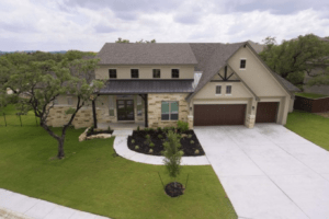
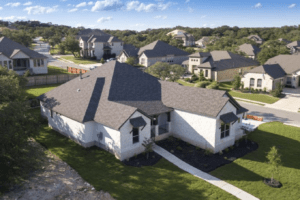
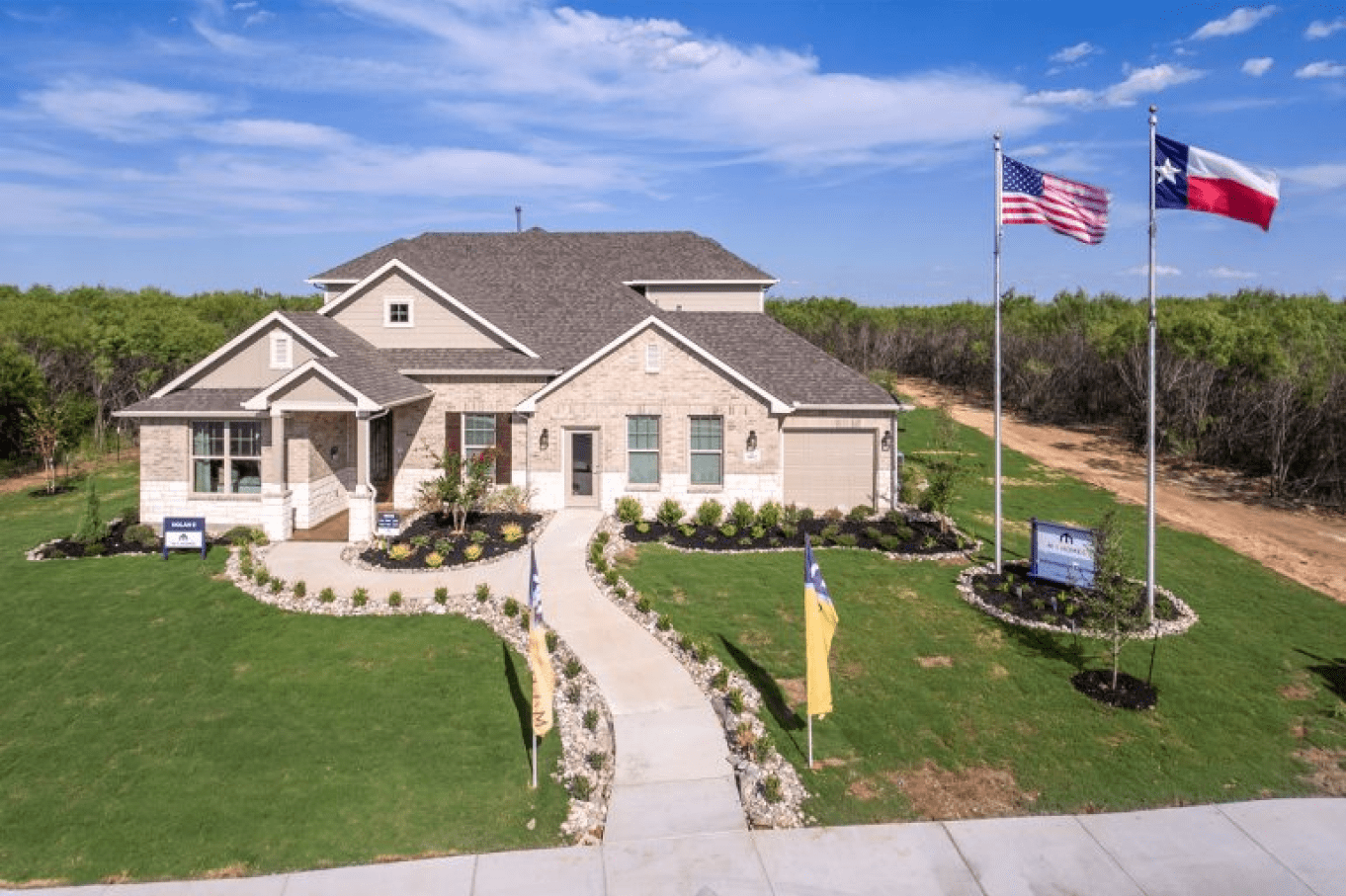
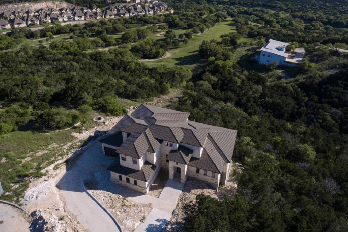
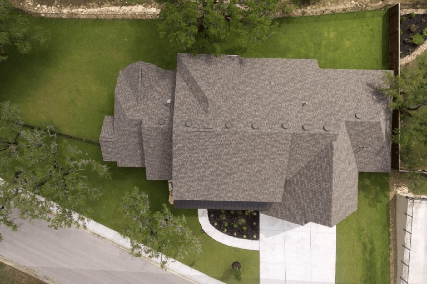
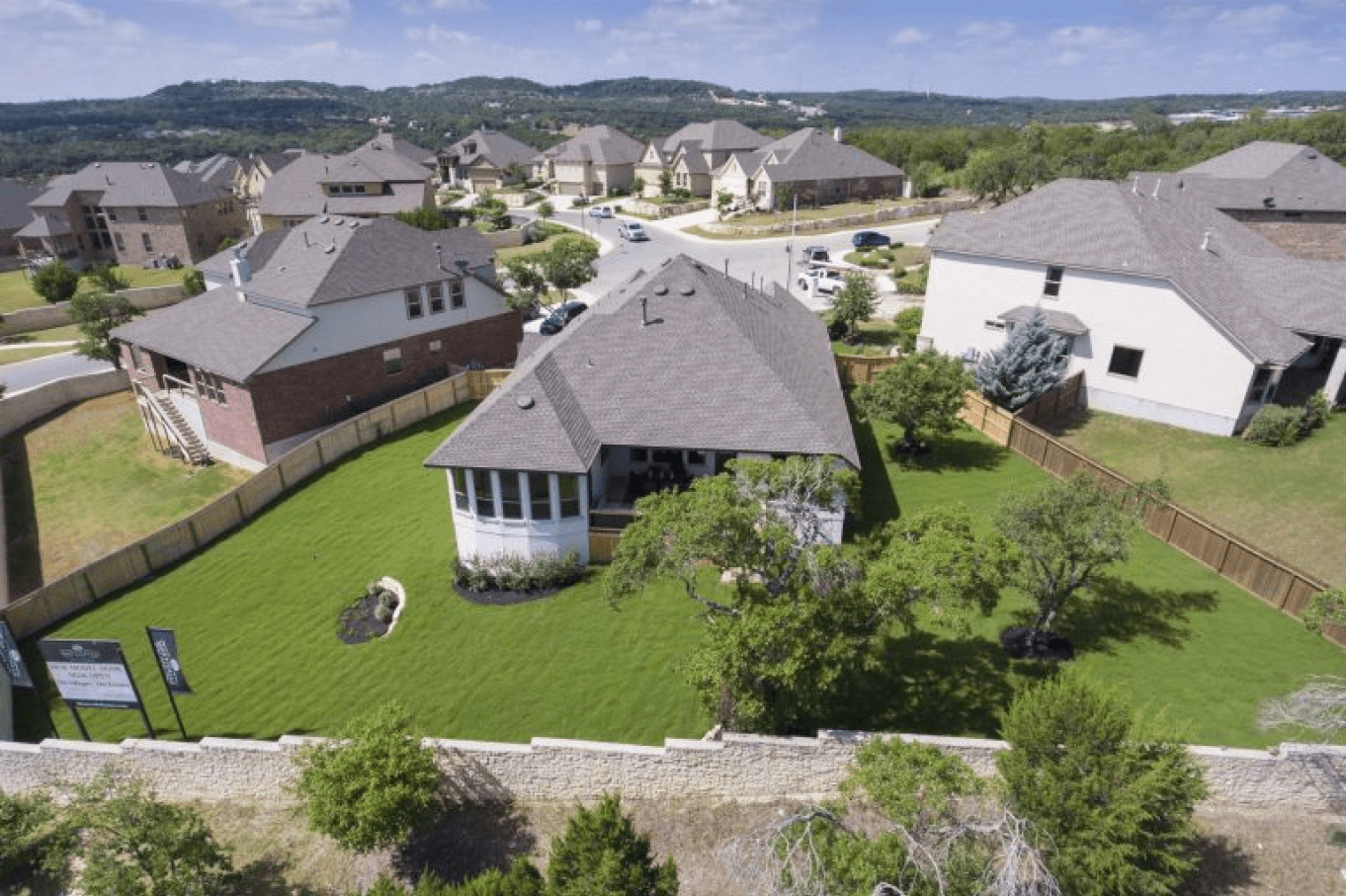
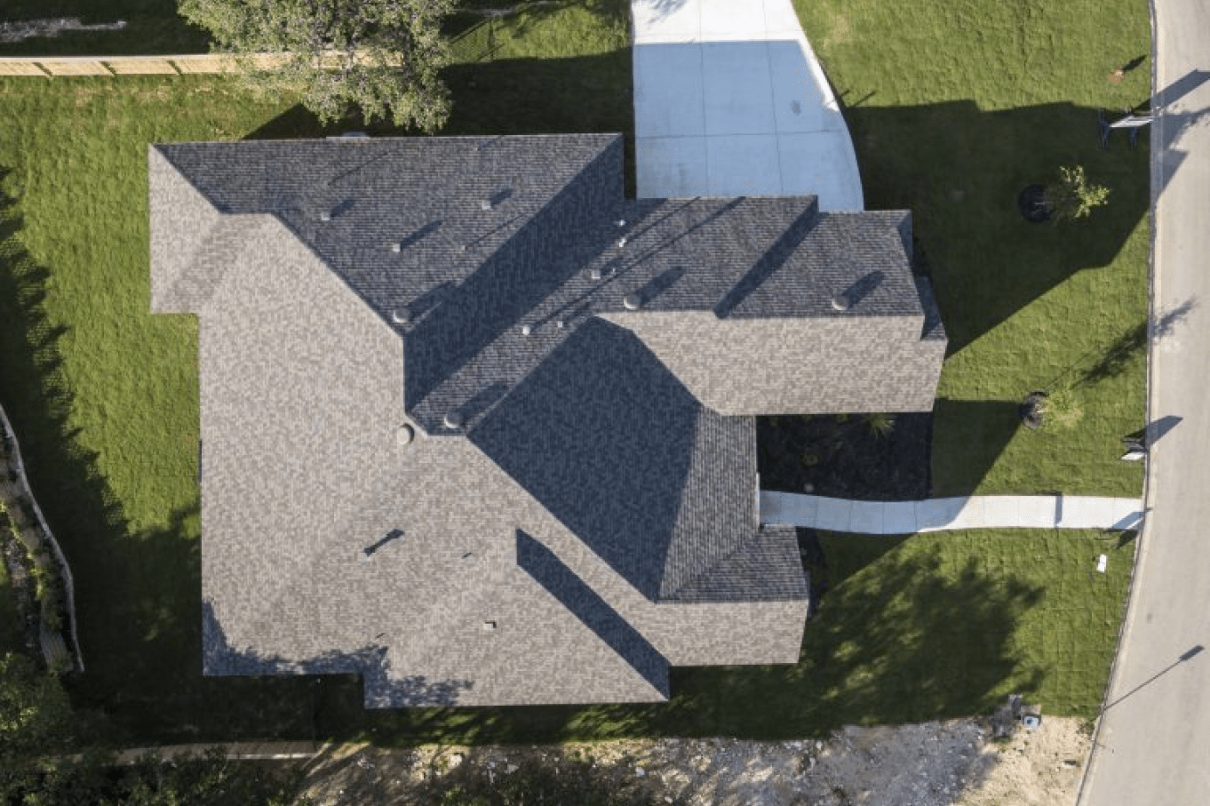
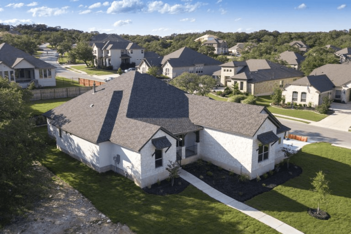
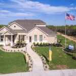
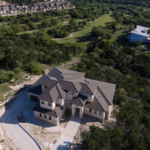
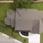
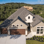
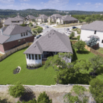
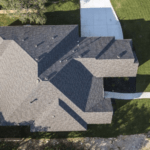
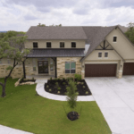
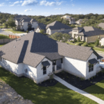
Aerial Photography
Capture breathtaking aerial views of properties, landscapes, and construction sites with our aerial photography services. Our drone-based photography delivers high-resolution images for marketing, surveying, and analysis purposes.
We are FAA Licensed, Registered and Insured.
Aerial Services are presently available for Travis, Bexar, Comal, Collin, Dallas, Denton & Tarrant counties.
Aerial Mapping
Topographic Mapping: gain a deeper understanding of the terrain with our topographic mapping services. We create detailed and accurate topographic maps, aiding in land development, infrastructure planning, and environmental assessments.
GIS (Geographic Information System) Integration: seamlessly integrate our aerial mapping data into your GIS for enhanced spatial analysis and decision-making. Our team ensures compatibility and accuracy, empowering you with valuable insights for informed choices.
Industry We Serve
Our all-in-one 2D and 3D solution is perfect for any industry that uses, modifies, communicates about, or markets real-world places. If you deal with properties, Matterport is in your industry.

Multifamily Managers & Property Developers

Home Builders & Developers

Residential and Commercial Real Estate

Matterport 3D
For Realtors
Experience excellence through our commitment to staying at the forefront
of Drone Aerial technology. We consistently invest in the latest advancements to ensure the delivery of exceptional results. Explore our gallery below to witness the unparalleled quality we bring to every project.
Let us be your Aerial Technology Partner!


Why Choose Xuguz Reality Capture?

Experience
Benefit from our extensive years of experience in architectural photography.

Expertise
Our team of skilled photographers is dedicated to delivering awe-inspiring images.

Equipment
Utilizing state-of-the-art equipment, we ensure the highest quality imagery.

Customer Service
Experience our commitment to providing exceptional customer service.